Spring Branch
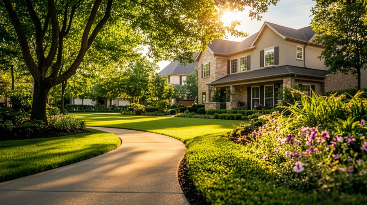
Spring Branch combines established homes and new construction on wooded lots near Memorial City, between the 610 Loop and Beltway 8 in Houston, TX.
Spring Branch combines established homes and new construction on wooded lots near Memorial City, between the 610 Loop and Beltway 8 in Houston, TX.
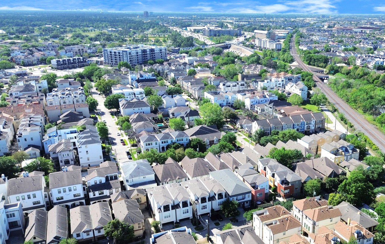
Spring Branch stretches across west Houston bordered by I-10 to the south, the 610 Loop to the east, and Beltway 8 to the west. Residents have quick access to Memorial City, the Energy Corridor, the Galleria, and downtown Houston. German farmers settled the area in the 1800s along a spring-fed creek flowing in Buffalo bayou, which gave Spring Branch its name. The area stayed rural for over a century before post-World War II subdivisions took shape, and Houston annexed it in the 1950s.
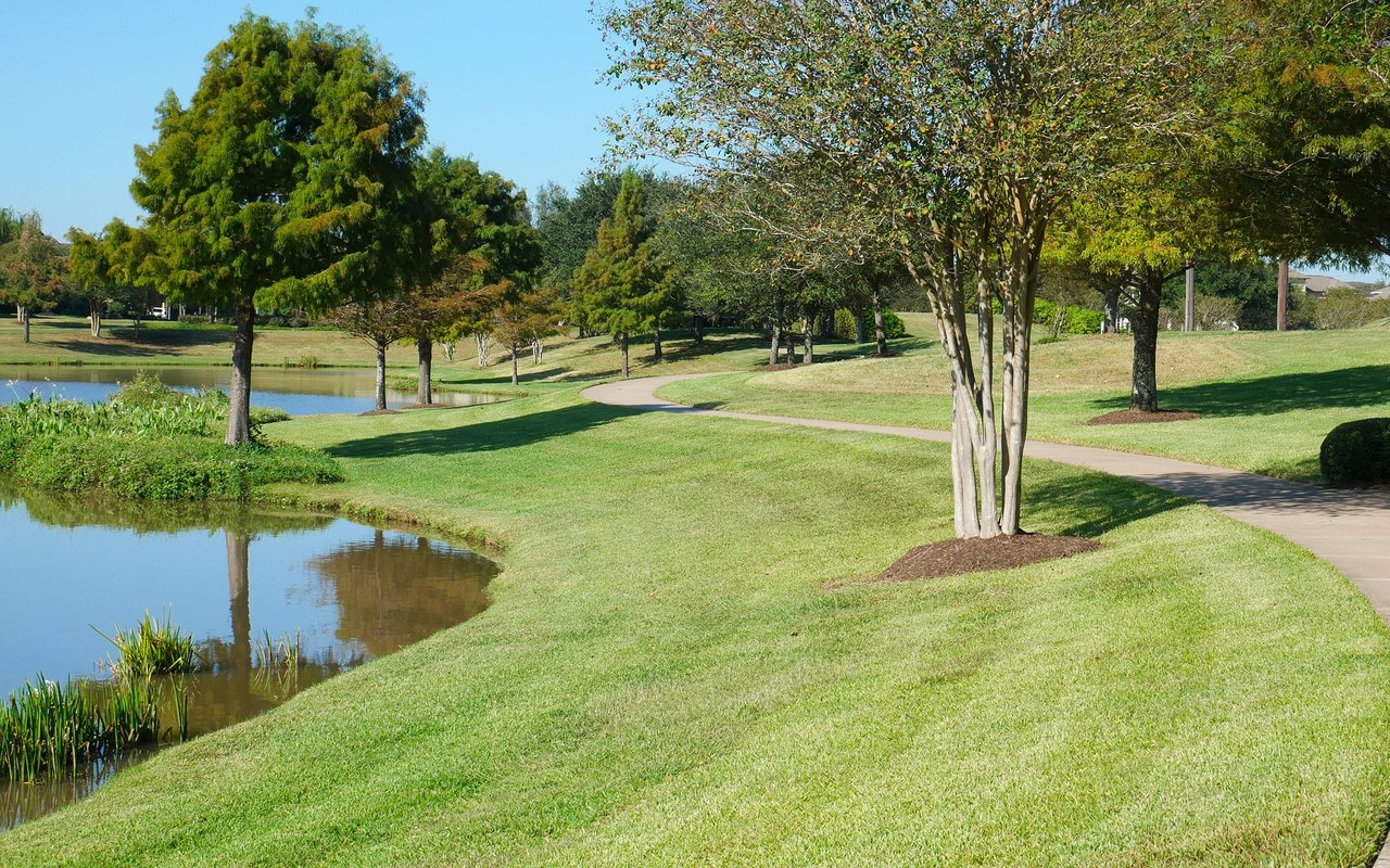
Memorial City Mall anchors shopping along the area's southern edge with retail along the I-10 and Beltway 8 corridors. A short drive west, Bear Creek Pioneers Park covers more than 2,100 acres with ball fields, playgrounds, trails, an aviary, and the Harris County War Memorial.
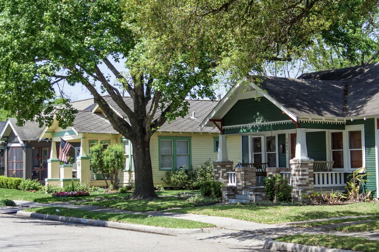
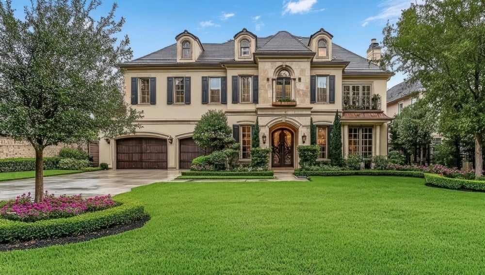
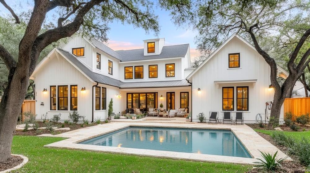
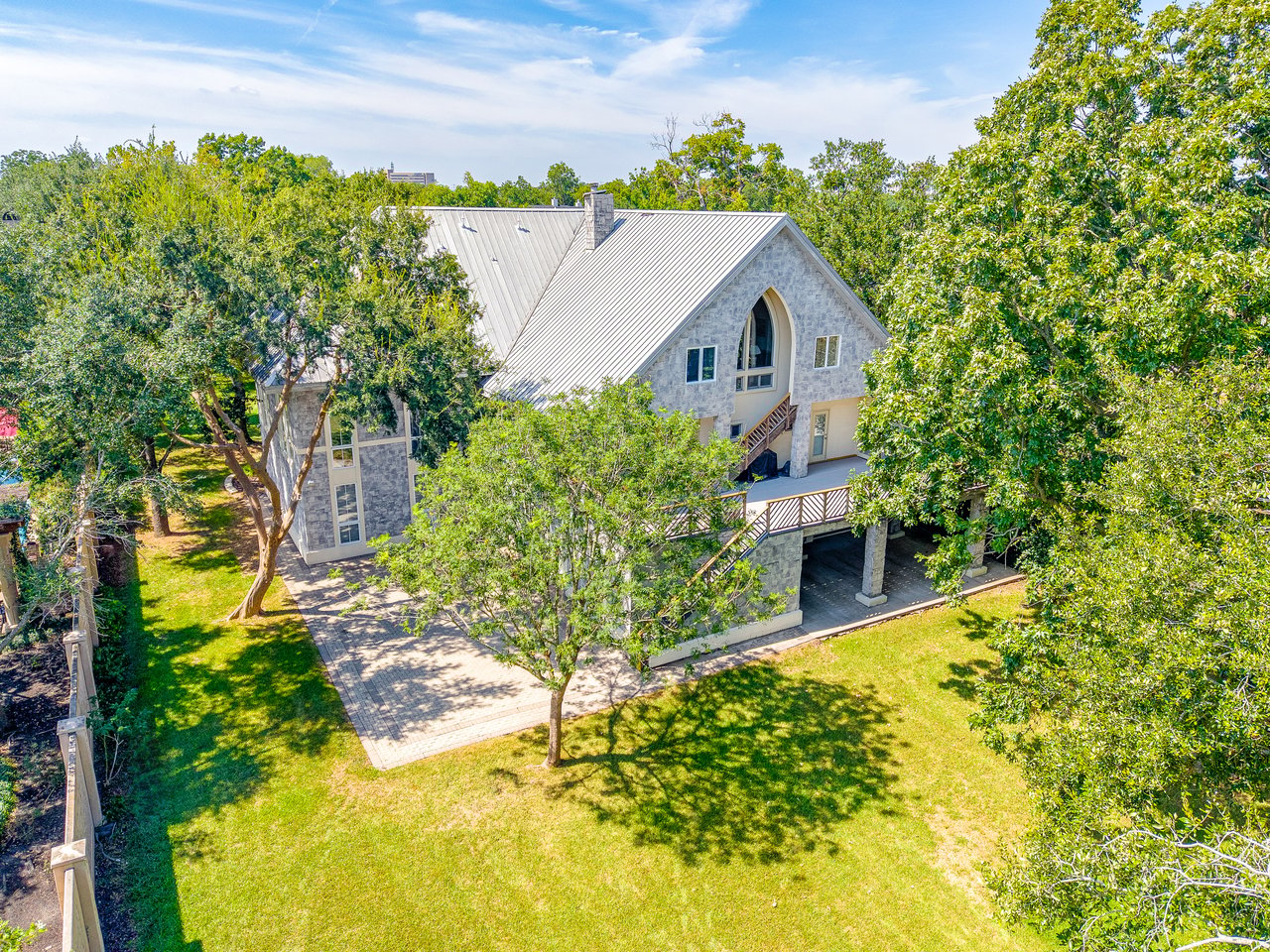
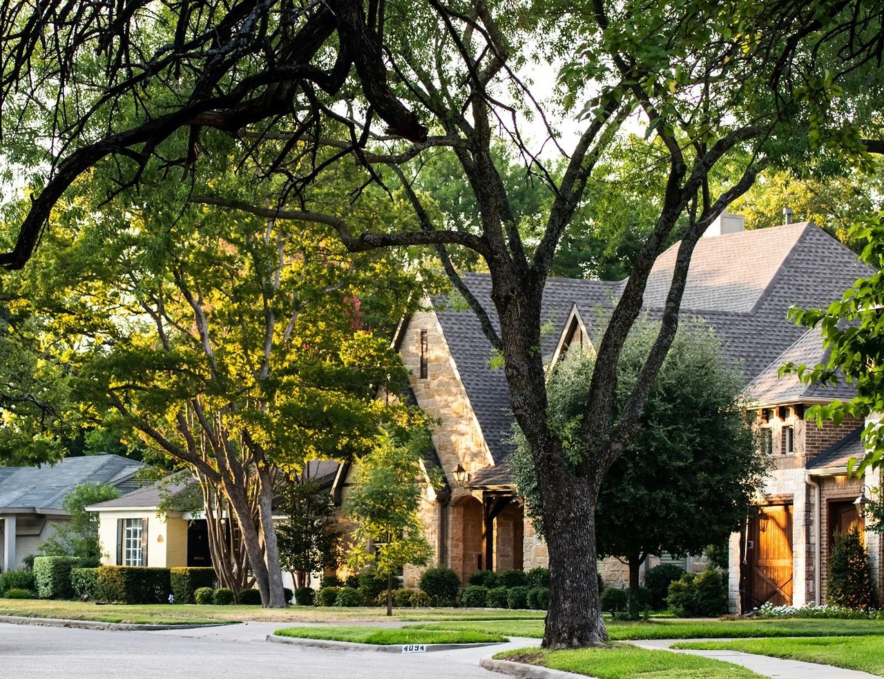
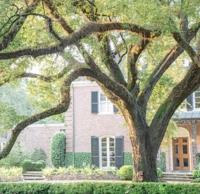
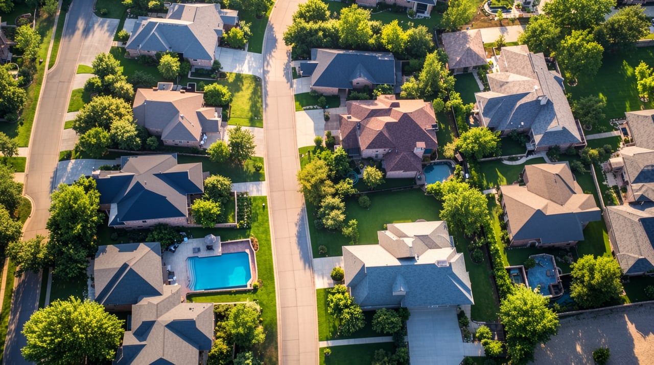
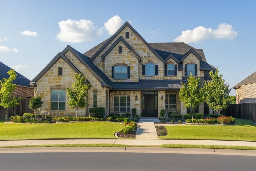
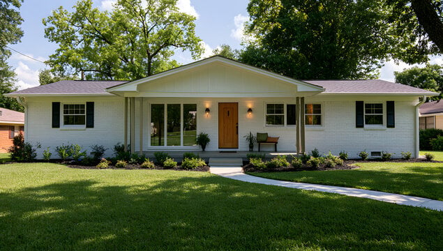
Sprawling, wooded lots show established homes, including mid-century ranch styles, alongside larger new construction. Most of the area is served by Spring Branch ISD, while some northern sections fall within Cypress-Fairbanks ISD. Confirm school zoning by address.
Find your home in Spring Branch
Browse current listings, view past sales, and sign up for new listing alerts. Questions or want to learn more? Call us at 281-961-6588
83,908 people live in Spring Branch, where the median age is 36 and the average individual income is $50,912. Data provided by the U.S. Census Bureau.
Total Population
Median Age
Population Density Population Density This is the number of people per square mile in a neighborhood.
Average individual Income
There's plenty to do around Spring Branch, including shopping, dining, nightlife, parks, and more. Data provided by Walk Score and Yelp.
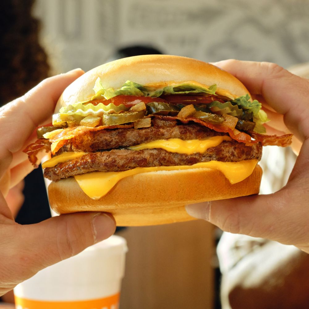
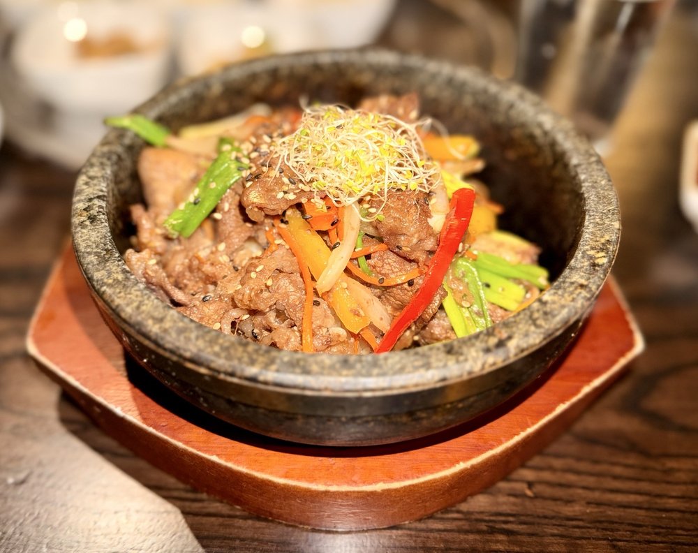
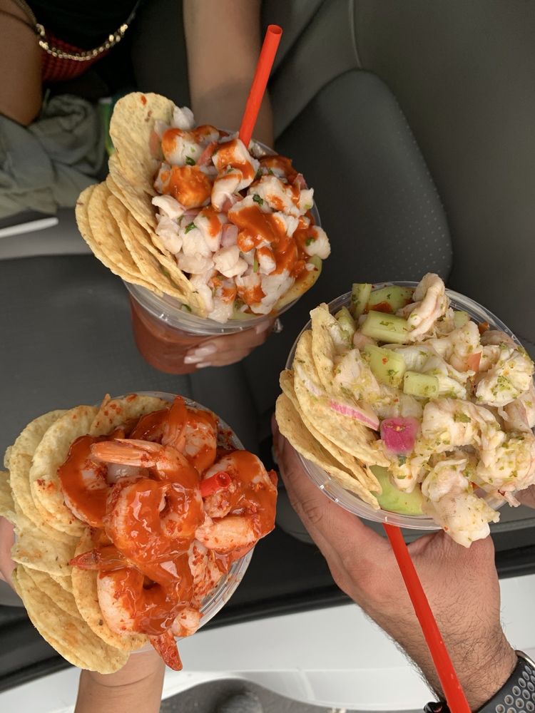
Explore popular things to do in the area, including Tortilleria El Kilos, Whataburger, and Korean Red Ginseng.
| Name | Category | Distance | Reviews |
Ratings by
Yelp
|
|---|---|---|---|---|
| Dining | 0.35 miles | 10 reviews | 3.5/5 stars | |
| Dining · $ | 0.49 miles | 63 reviews | 2.6/5 stars | |
| Dining | 0.55 miles | 0 reviews | 0/5 stars | |
| Dining · $ | 0.64 miles | 2 reviews | 3/5 stars | |
| Dining | 0.74 miles | 0 reviews | 0/5 stars | |
| Dining | 1.13 miles | 0 reviews | 0/5 stars | |
| Dining | 1.32 miles | 0 reviews | 0/5 stars | |
| Dining · $$$ | 1.37 miles | 668 reviews | 4.4/5 stars | |
| Dining | 1.48 miles | 2 reviews | 5/5 stars | |
| Dining | 1.49 miles | 23 reviews | 3.8/5 stars | |
| Dining | 1.53 miles | 0 reviews | 0/5 stars | |
| Beauty | 0.73 miles | 0 reviews | 0/5 stars | |
| Beauty | 0.8 miles | 1 review | 5/5 stars | |
| Beauty | 0.8 miles | 0 reviews | 0/5 stars | |
| Beauty | 1.04 miles | 1 review | 5/5 stars | |
| Beauty | 1.07 miles | 0 reviews | 0/5 stars | |
| Beauty | 1.25 miles | 0 reviews | 0/5 stars | |
|
|
||||
|
|
||||
|
|
||||
|
|
||||
|
|
||||
|
|
Spring Branch has 30,791 households, with an average household size of 3. Data provided by the U.S. Census Bureau. Here’s what the people living in Spring Branch do for work — and how long it takes them to get there. Data provided by the U.S. Census Bureau. 83,908 people call Spring Branch home. The population density is 8,992 and the largest age group is Data provided by the U.S. Census Bureau.
Total Population
Population Density Population Density This is the number of people per square mile in a neighborhood.
Median Age
Men vs Women
Population by Age Group
0-9 Years
10-17 Years
18-24 Years
25-64 Years
65-74 Years
75+ Years
Education Level
Total Households
Average Household Size
Average individual Income
Households with Children
With Children:
Without Children:
Marital Status
Blue vs White Collar Workers
Blue Collar:
White Collar:
Real estate can feel overwhelming, but you don’t have to navigate it alone. Our team is here to bring clarity to the process, advocate for your goals, and guide you every step of the way.
KRAASE PROPERTY GROUP
1220 AUGUSTA DR HOUSTON, TX 77057